 Geographic Information System (GIS) Solutions
Services Oreinted Architecture
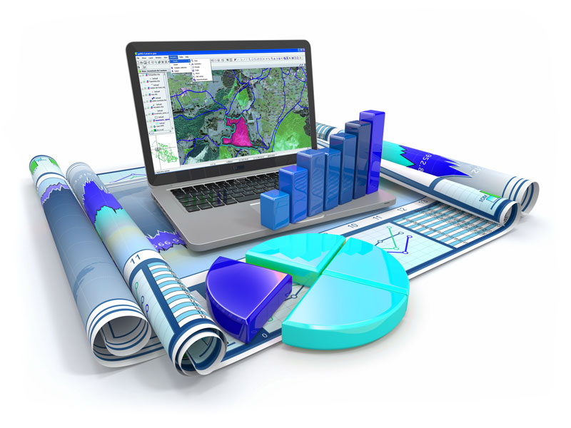
Our Solutions covers, and not limited to, Applications, GIS techniques and technology Relating information from different sources, GIS uncertainties studies, Data representation Raster & Vector, evaluating the Advantages and disadvantages, Non-spatial data manipulation, Raster-to-vector translation. projections, coordinate systems and registration, Spatial analysis with GIS Slope and aspect, Data analysis, Topological modeling, Networks, Hydrological Modeling, Cartographic modeling, Map overlay, Automated cartography, Geostatistics, Address geocoding, Reverse geocoding, Data output and cartography, Graphic display t...
Read More